
County Kent ZIP code 19936 Elevation 12 m Population 1,423 (2013) Number of airports 1 | Time zone Eastern (EST) (UTC-5) Area code(s) 302 Area 100 ha Local time Saturday 8:11 AM | |
 | ||
Weather -3°C, Wind W at 13 km/h, 47% Humidity | ||
Cheswold is a town in Kent County in the U.S. state of Delaware. It is part of the Dover, Delaware Metropolitan Statistical Area. The population was 1,380 at the 2010 census.
Contents
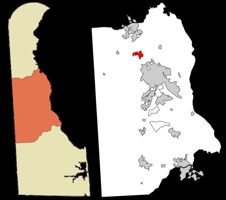
Map of Cheswold, DE, USA
History
The town developed following the construction of the railroad in 1856. Prior to 1888, Cheswold was called Moorton after landowner James S. Moore.
Geography
Cheswold is located at 39°13′09″N 75°35′09″W (39.2192786, -75.5857596).
According to the United States Census Bureau, the town has a total area of 0.4 square miles (1.0 km2), all of it land.
Demographics
As of the census of 2000, there were 313 people, 116 households, and 80 families residing in the town. The population density was 729.8 people per square mile (281.0/km²). There were 122 housing units at an average density of 284.5 per square mile (109.5/km²). The racial makeup of the town was 71.57% White, 12.14% African American, 5.11% Native American, 0.32% Asian, 6.39% from other races, and 4.47% from two or more races. Hispanic or Latino of any race were 10.86% of the population.
There were 116 households out of which 37.1% had children under the age of 18 living with them, 42.2% were married couples living together, 19.0% had a female householder with no husband present, and 30.2% were non-families. 22.4% of all households were made up of individuals and 7.8% had someone living alone who was 65 years of age or older. The average household size was 2.70 and the average family size was 2.95.
In the town, the population was spread out with 30.7% under the age of 18, 10.2% from 18 to 24, 32.3% from 25 to 44, 15.7% from 45 to 64, and 11.2% who were 65 years of age or older. The median age was 30 years. For every 100 females there were 108.7 males. For every 100 females age 18 and over, there were 102.8 males.
The median income for a household in the town was $38,750, and the median income for a family was $32,045. Males had a median income of $31,250 versus $22,083 for females. The per capita income for the town was $14,588. About 18.8% of families and 25.5% of the population were below the poverty line, including 38.7% of those under age 18 and 16.2% of those age 65 or over.
Notable Natives- Michael Troy White (Operation Iraqi Freedom Veteran)
As of 2012, Cheswold is made up of several communities. Parkers Run, Strimel Mobile Home Park, Fox Pointe Mobile Home Park, Blanton Mobile Home Park and Stonington.
Government
Cheswold Police Department
Station 43-Fire Company