
Time zone CST (UTC-6) Area 93.71 km² Population 253 (2010) | Established November 2, 1852 Elevation 206 m Local time Saturday 6:48 AM | |
 | ||
ZIP codes 61410, 61436, 61458, 61474, 61544 Weather -1°C, Wind SE at 16 km/h, 67% Humidity | ||
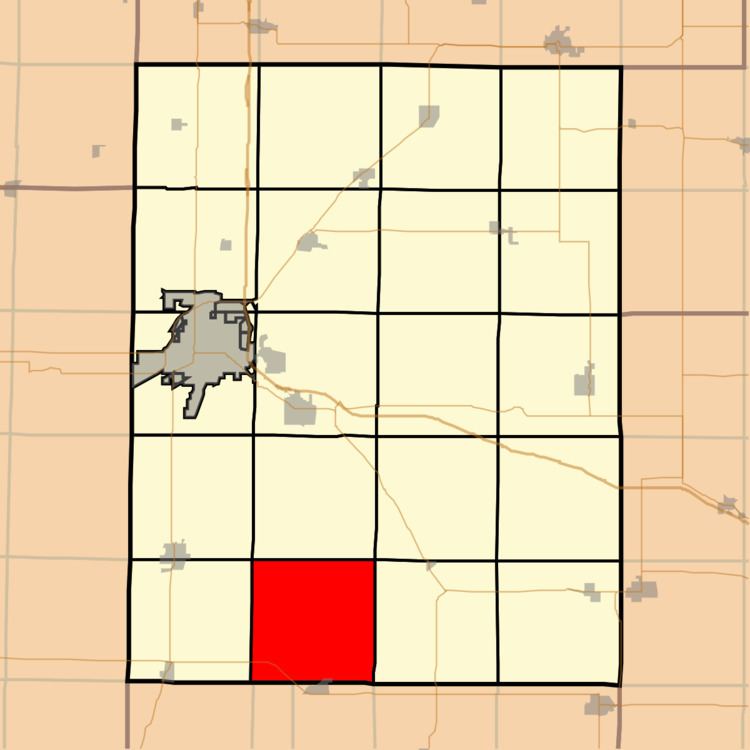
Chestnut Township is one of twenty-one townships in Knox County, Illinois, United States. As of the 2010 census, its population was 253 and it contained 121 housing units.
Contents
- Map of Chestnut Township IL USA
- Geography
- Cities towns villages
- Unincorporated towns
- Extinct towns
- Cemeteries
- Airports and landing strips
- School districts
- Political districts
- References
Map of Chestnut Township, IL, USA
Geography
According to the 2010 census, the township has a total area of 36.18 square miles (93.7 km2), all land.
Cities, towns, villages
Unincorporated towns
(This list is based on USGS data and may include former settlements.)
Extinct towns
(These towns are listed as "historical" by the USGS.)
Cemeteries
The township contains these four cemeteries: Elias Bragg, Harper, Hermon Christian and Hermon Methodist.
Airports and landing strips
School districts
Political districts
References
Chestnut Township, Knox County, Illinois Wikipedia(Text) CC BY-SA