
Country United States ZIP codes 61046, 61078 Elevation 284 m Local time Saturday 2:28 AM | Time zone CST (UTC-6) GNIS feature ID 0428798 Area 138.1 km² Population 1,485 (2010) | |
 | ||
Weather -2°C, Wind E at 21 km/h, 85% Humidity | ||
Cherry Grove-Shannon Township is one of twelve townships in Carroll County, Illinois, USA. As of the 2010 census, its population was 1,485 and it contained 799 housing units.
Contents
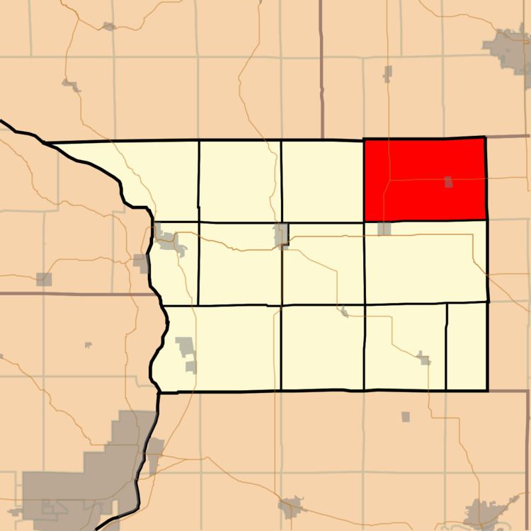
- Map of Cherry Grove Shannon Township IL USA
- Geography
- Cities
- Unincorporated towns
- Cemeteries
- Major highways
- Airports and landing strips
- School districts
- Political districts
- Notable residents
- References
Map of Cherry Grove-Shannon Township, IL, USA
Geography
According to the 2010 census, the township has a total area of 53.31 square miles (138.1 km2), of which 53.3 square miles (138 km2) (or 99.98%) is land and 0.01 square miles (0.026 km2) (or 0.02%) is water.
Cities
Unincorporated towns
(This list is based on USGS data and may include former settlements.)
Cemeteries
The township contains these five cemeteries: Brethren, Cherry Grove Brethren, Saint Wendelin, Shell and Spring Valley.
Major highways
Airports and landing strips
School districts
Political districts
Notable residents
References
Cherry Grove–Shannon Township, Carroll County, Illinois Wikipedia(Text) CC BY-SA