
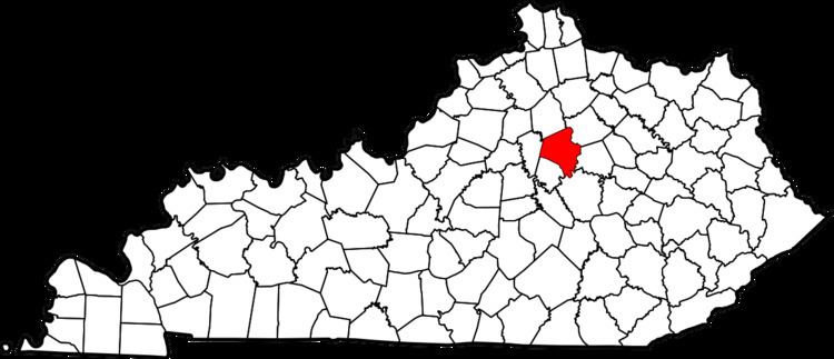
Country United States County Fayette Time zone Eastern (EST) (UTC-5) Area 11 ha | State Kentucky City Lexington ZIP code 40503 Population 76 (2000) | |
 | ||
Cherokee Park is a neighborhood in southwestern Lexington, Kentucky, United States. Its boundaries are Rosemont Garden on the south, Nicholasville Road to the east, Dantzler Drive, and the Norfolk Southern railroad tracks to the west. It was developed by Dean William S. Taylor in the early 1920s.
Contents
Map of Cherokee Park, Lexington, KY 40503, USA
Neighborhood statistics
References
Cherokee Park, Lexington Wikipedia(Text) CC BY-SA