
Established 1880 Elevation 730 m Local time Saturday 7:09 PM | Postcode(s) 3434 Postal code 3434 | |
 | ||
Weather 21°C, Wind S at 18 km/h, 59% Humidity | ||
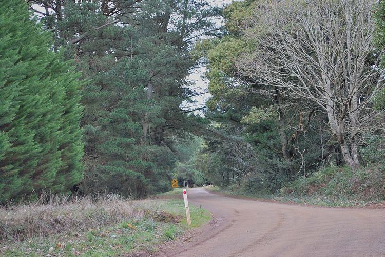
Cherokee /ˈtʃɛrəki/ is a small town situated in the Macedon Ranges Shire, in Victoria, Australia 73 kilometres (45 mi) north of the state capital, Melbourne.
Map of Cherokee VIC 3434, Australia
The settlement as it appears today was created by land subdivision around 1880–1881, although the area was occupied by Europeans before this date. Timber mills and a school were operating by 1865, possibly earlier, in response to the demand for timber created by the Victorian gold rush.
Cherokee Post Office opened on 1 July 1927 and closed in 1955.
References
Cherokee, Victoria Wikipedia(Text) CC BY-SA