Country India District Warangal Time zone IST (UTC+5:30) Population 17,281 (2001) | State Telangana Talukas Cherial (Warangal) PIN 506223 Local time Saturday 12:37 PM | |
 | ||
Weather 32°C, Wind S at 13 km/h, 30% Humidity Neighborhoods BD Colony, Peddamagadda, Hanuman Nager | ||
Cherial is a village panchayat mandal in Warangal district in the state of Telangana in India.
Contents
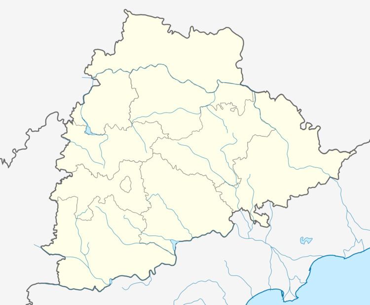
Map of Cherial, Telangana
Geography
Location in Google Maps
Approximate co-ordinates: 17° 55' 12.91", 78° 58' 23.58" List of gram panchayats in Cherial mandal:
1.[CHERIAL]
2.Aknoor
3.AINAPOR
4.Chityal
5.Chunchankota
6.Danampalle
7.Dommata
8.Gouraipalle
9.Guravannapet
10.Kadavergu
11.Kistampet
12.Komuravelle
13.Marrimusthiayala
14.Musthiyala
15.Nagapuri
16.Pedarajupet
17.Posanpalle
18.Rampoor
19.Ramsagar
20.Tadoor
21.Tapaspalle
22.Vechareni
23.Gurjakunta
References
Cherial, Warangal Wikipedia(Text) CC BY-SA
