
Country United States Counties Madison GNIS feature ID 1056240 Zip code 43143 Area code 740 | State Ohio Time zone Eastern (EST) (UTC-5) Elevation 291 m Local time Saturday 12:55 AM | |
 | ||
Weather -4°C, Wind N at 6 km/h, 69% Humidity | ||
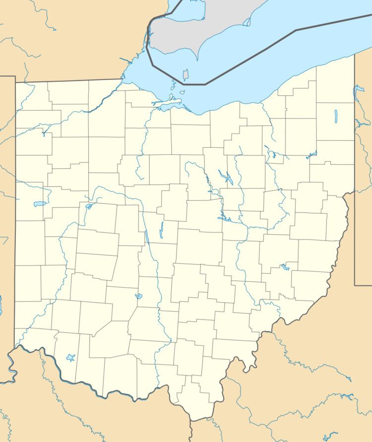
Chenoweth is an unincorporated community in Range Township, Madison County, Ohio, United States. It is located at 39°43′52″N 83°21′27″W, along Ohio State Route 323 between McClimansville and Range.
Map of Chenoweth, OH 43143, USA
Chenoweth was never platted. The community has the name of John Chenoweth, a pioneer settler. The Chenoweth Post office was established on October 12, 1887, but was discontinued on September 15, 1900. The mail service is now sent through the Mount Sterling branch. As of 1915, the community contained one grocery store, one blacksmith, and a small cluster of houses.
References
Chenoweth, Ohio Wikipedia(Text) CC BY-SA