
State Pará Postal Code 68880-000 Area 13,085 km² Local time Friday 6:00 PM | Time zone BST (UTC-3) Elevation 6 m Population 20,228 (2008) | |
 | ||
Weather 27°C, Wind NE at 14 km/h, 85% Humidity | ||
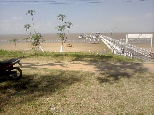
Chaves is a Brazilian municipality located in the state of Pará. Its population as of 2008 is estimated to be 20,228 people. The area of the municipality is 13,084.879 km². The city belongs to the mesoregion Marajó and to the microregion of Arari.
Map of Chaves - State of Par%C3%A1, Brazil
The municipality is contained in the 59,985 square kilometres (23,160 sq mi) Marajó Archipelago Environmental Protection Area, a sustainable use conservation unit established in 1989 to protect the environment of the delta region.
References
Chaves, Pará Wikipedia(Text) CC BY-SA