
Country Nepal District Kailali District Area code(s) 091 Population 27,586 (2011) | Zone Seti Zone Time zone Nepal Time (UTC+5:45) Local time Saturday 1:47 AM | |
 | ||
Weather 17°C, Wind NW at 3 km/h, 44% Humidity | ||
Chaumala is a Village Development Committee Recently changed into Gauriganga Municipality गौरीगंगा नगरपालिका in Kailali District in the Seti Zone of western Nepal, near the town of Dhangadhi. At the time of the 2011 Nepal census it had a population of 27,586 living in 5,293 individual households.Chaumala is exactly located 32 km. east from the primary city and municipality of Kailali district, Dhangadhi and almost 60 km. west from another municipality, Tikapur. It lies across the Mahendra Highway, the only highway of Nepal. It has two small markets, one across the highway itself and other beyond the river.
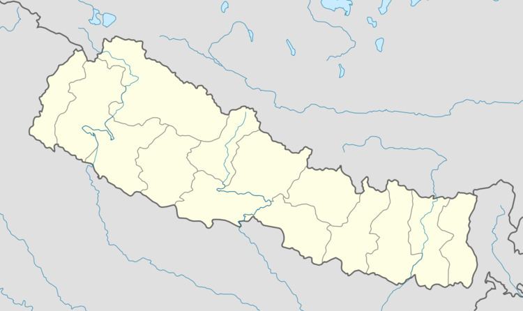
Map of Chaumala 10900, Nepal
The village has almost all sort of basic facilities, i.e. education, health, transportation, communication and electricity. There are 9 villages within this VDC; Rajipur, Chaumala, Udashi, Jhil, Mangalpur, Khurkhuriya, Maghi, Banbehada and Kuchaini respectively. It is special because there are inhabitants of almost all the 75 districts of Nepal.