
Other name(s) Chateaugay River River mouth Saint Lawrence River Basin area 2,543 km² | Locations New York, Quebec Length 121 km | |
 | ||
Basin size 2,543.4 km (982.0 sq mi) Bridges Powerscourt Covered Bridge Countries Canada, United States of America | ||
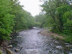
The Chateauguay River (or Chateaugay River in the United States) has its source at the Chateaugay Lakes in the Adirondack Mountains of northern New York state in the United States. It winds its way northward through several towns and villages in Quebec, Canada, such as Elgin, Hinchinbrooke, Huntingdon, Dewittville, Ormstown and Châteauguay, before emptying into the Saint Lawrence River near Montreal.
Map of Chateauguay River
The river is home to many species of birds and fish and is a major stopping-point for migrating ducks and Canada geese.
Although polluted for many years, the river has been cleaned up and is beginning to be an eco-tourism destination for canoeing and kayaking.
The drainage basin and surrounding area is known as the Chateauguay Valley.
References
Chateauguay River Wikipedia(Text) CC BY-SA