
Country Canada RCM Le Haut-Saint-François Time zone EST (UTC−5) Area 142.6 km² Population 307 (2011) Area code 819 | Region Estrie Constituted January 1, 1879 Postal code(s) J0B 1K0 Local time Friday 11:53 AM Province Québec | |
 | ||
Weather -10°C, Wind W at 21 km/h, 46% Humidity | ||
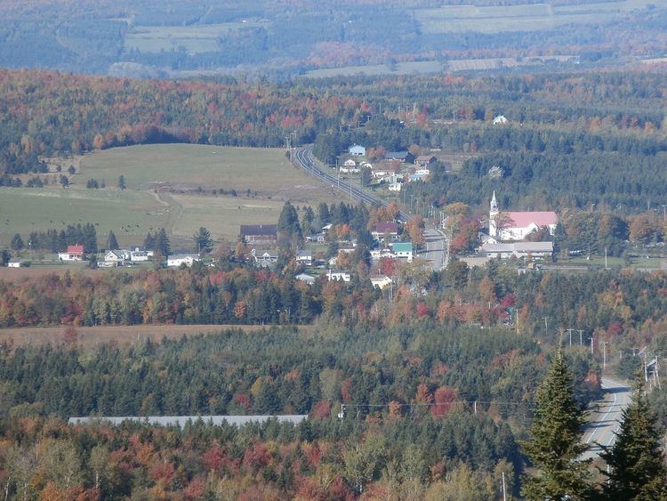
Chartierville quebec just over the border from pittsburg nh
Chartierville is a small municipality of about 300 people in Le Haut-Saint-François Regional County Municipality, in the Estrie region of Quebec, Canada, on the Canada–United States border.
Contents
- Chartierville quebec just over the border from pittsburg nh
- Map of Chartierville QC Canada
- Magnetic Hill
- References
Map of Chartierville, QC, Canada
Chartierville is located on Route 257 South. Prior to its founding in 1870 by colonists from Saint-Hyacinthe, gold-seekers flocked to the area. This patch of land, 139 km square and 505 metres in altitude, is one of the highest regions in Quebec.
Magnetic Hill
A local attraction of interest is Magnetic Hill (Côte Magnétique), a gravity hill.
References
Chartierville, Quebec Wikipedia(Text) CC BY-SA