Charlton Avenue, is a Lower City collector road in Hamilton, Ontario, Canada. This collector road starts off just West of Dundurn Street as a one-way street (Westbound) up to James Street South where it then switches over to a two-way street the rest of the way eastward and ends at Wentworth Street South right in front of Mountain Face Park and the Escarpment Rail Trail.
Charlton Avenue was named after Benjamin Ernest Charlton, (1835-1901), teacher, manufacturer, politician and mayor of Hamilton. Originally Charlton Street was named Hannah Street.
Wentworth Street, at the base of the Niagara Escarpment (mountain) was the site of the city's second Incline railway (1895-1936). Back then, the Incline railway on Wentworth Street was known as the Eastend Incline Railway but was often called, The Mount Hamilton Incline Railway. The city's first Incline railway on James Street South, (1892-1932), was known as the Hamilton & Barton Incline Railway.
Landmarks
Note: Listing of Landmarks from West to East.
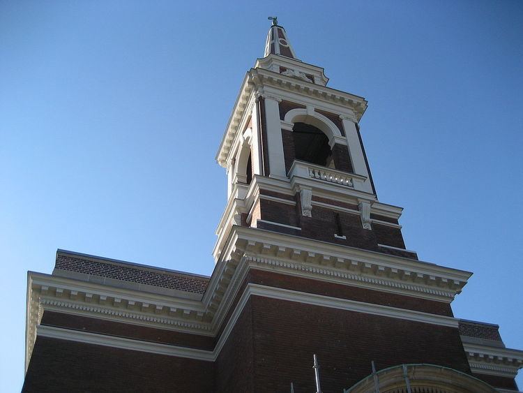
St. John The Evangelist Church
Ryerson Middle School
Locke Street Shopping district (Antique shops, Art galleries, Cafes & fine dining Restaurants)
Hamilton Amateur Athletic Association Grounds
Hamilton Tennis Club
Central Presbyterian Church
First Christian Reformed Church, Hamilton
Durand Park
James Street South Shopping District
St. Joseph's Hospital
McMaster University - Division of Cardiology, Dept. of Medicine, St. Joseph's Hospital
Church of the Ascension (1-block north of Charlton Avenue on John Street South)
Oakland Square (shopping plaza)
Olympia Apartments, (Hamilton's 3rd-tallest building)
Canadian Pacific Railway line
Escarpment Rail Trail
Mountain Face Park
Wentworth Street Stairway (Access to the Upper City, "Mountain"), old site of the Wentworth Street Incline railway, (1895-1936)
Bruce Trail
Niagara Escarpment (mountain)
Note: Listing of neighbourhoods from West to East.
Kirkendall North
Durand
Corktown
Stinson
Lower City Roads:
Burlington Street, West/East
Barton Street, West/East
Cannon Street, West/East
Wilson Street
King William Street
King Street, West/East
Main Street, West/East - Queenston Road
Jackson Street, West/East
Hunter Street, West/East
Augusta Street
Charlton Avenue, West/East
Aberdeen Avenue
Niagara Escarpment (Mountain) Roads:
Concession Street
Queensdale Avenue West/ East
Scenic Drive - Fennell Avenue, West/East
Sanatorium Road
Mohawk Road, West/East
Limeridge Road West/East
Lincoln M. Alexander Parkway - Mud Street, (Hamilton City Road 11)
Stone Church Road, West/East
; Rymal Road, West/East
Twenty Road
Note: Listing of streets from West to East.
Dundurn Street, South
Locke Street, South
Queen Street, South
Hess Street, South
Caroline Street, South
Bay Street, South
MacNab Street, South
James Street, South
Hughson Street, South
John Street, South
Catharine Street, South
Ferguson Avenue, South
Wellington Street, South
Victoria Avenue, South (Victoria Ave. mountain-access ramp flows over Charlton Ave.)
Wentworth Street, South