
 | ||
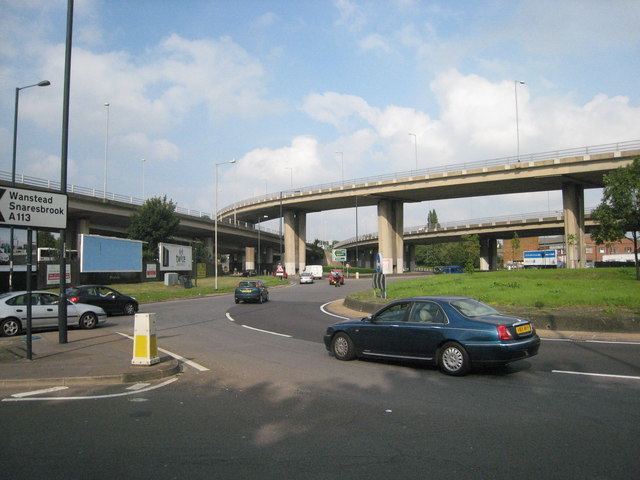
Charlie Brown's Roundabout is the common name for a roundabout at the southern end of the M11 motorway in South Woodford, London.
Map of Charlie Browns Roundabout, London, UK
The roundabout is at the junction of the North Circular Road with the Southend Road and the Chigwell Road. The M11 sliproads connect with the westbound North Circular Road by flyovers above the roundabout.
The roundabout is named after the pub that was demolished in 1972 when the roundabout was enlarged to accommodate the sliproads for the newly constructed motorway.
The landlord's father – also Charlie Brown – was the landlord of the original Charlie Brown's pub in Limehouse, London.
References
Charlie Brown's Roundabout Wikipedia(Text) CC BY-SA