
Quadrant SW Sector Southeast Elevation 709 m Population 2,941 (2012) | Ward 12 Area 199 ha Mayor Don Iveson | |
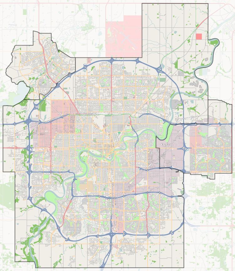 | ||
Charlesworth is a neighbourhood in south east Edmonton, Alberta, Canada. It is bounded on the south by Ellerslie Road, on the west by 66 Street, and on the east by 34 Street and on the north by Anthony Henday Drive.
Contents
Map of Charlesworth, Edmonton, AB, Canada
As of December 23, 2007, the City of Edmonton map utility contained virtually no data on this area. As this area develops, more data should become available.
Demographics
In the City of Edmonton's 2012 municipal census, Charlesworth had a population of 7003294100000000000♠2,941 living in 7003105400000000000♠1,054 dwellings, a 111% change from its 2009 population of 7003139400000000000♠1,394. With a land area of 1.99 km2 (0.77 sq mi), it had a population density of 7003147790000000000♠1,477.9 people/km2 in 2012.
References
Charlesworth, Edmonton Wikipedia(Text) CC BY-SA