
Country Pakistan Elevation 980 m Province Khyber Pakhtunkhwa | Time zone PST (UTC+5) Local time Friday 9:17 AM | |
 | ||
Weather 11°C, Wind E at 6 km/h, 62% Humidity | ||
Charbagh (Pashto: چارباغ) is a village in Tehsil Charbagh, in the Khyber Pakhtunkhwa province of Pakistan. It is part of Swat District and is located at 34°50'0"N 72°26'30"E with an average altitude of 1,032 meters (3,386 feet).
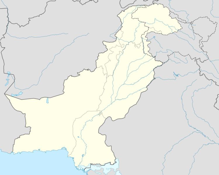
Map of Charbagh, Pakistan
Tehsil Charbagh is also known as Matorizi Tehsil and it borders with Babuzai tehsil and Azikhel Tehsil. Some of the villages included in Tehsil Charbagh are:
University of Swat 800 meter away from Charbagh bazar situated in Alabad, Cadet College is in Gulibagh and also the Private University Town are in this Tehsil.
Famous Personalities: Aslam Khan, Taj Muhammad Khan, Yaqub Khan, Bairoom Khan Nazim Charbagh, Late Azady Khan, Doctor Nisar a famous surgeon, MNA Syed Allaudin Bacha, SP Amjad Ali khan,
The population of Tehsil Charbagh is 77,000 according to 2013 Election. The town was also a stronghold of the Taliban in Pakistan, in May 2009 Pakistan government had the town in their sights after routing the Taliban elsewhere in the district.