
Population < 300 Region East Sovereign state United Kingdom Shire county Hertfordshire District East Hertfordshire UK parliament constituency North East Hertfordshire | OS grid reference TL329165 Country England Post town Ware Local time Friday 2:05 AM Dialling code 01920 | |
 | ||
Weather 4°C, Wind SE at 13 km/h, 89% Humidity | ||
Chapmore End is a hamlet in Bengeo Rural parish, Hertfordshire. At the 2011 Census the population of the hamlet was included in the town of Ware.
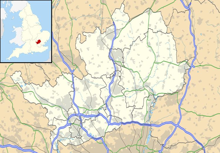
Map of Chapmore End, Ware, UK
The village consists of a few houses and a pub, the Woodman, and is situated just off the B158 approximately three miles north of Hertford.
On the other side of the B158 in the Rib Valley is the former Hertford County Reformatory for boys, which was in operation between 1858 and 1981, and is now a private residential area known as Crouchfields.
Chapmore End has close ties with the nearby village of Tonwell, where the former parish church is situated, along with the parish village hall. The two villages also hold combined events such as the village fete.
The village association have their own web site.