
 | ||
Similar Bald Hill, Mount Tyree, Negoiu Peak, Moldoveanu Peak, Aoraki / Mount Cook | ||
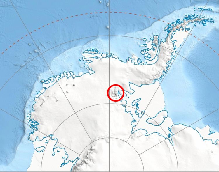
Chapman Peak (78°11′S 85°13′W) is a peak, 2,230 metres (7,320 ft) high, in the Maglenik Heights, on the east side of Ellen Glacier and west of Arapya Glacier, 5 miles (8 km) northeast of Mount Jumper in the central Sentinel Range of the Ellsworth Mountains, Antarctica. It was first mapped by the U.S. Geological Survey from surveys and from U.S. Navy air photos, 1957–59, and named by the Advisory Committee on Antarctic Names for Captain John H. Chapman, USAF, who participated in establishing the International Geophysical Year South Pole Station in the 1956–57 season.
Contents
Map of Chapman Peak, Antarctica
Maps
References
Chapman Peak (Antarctica) Wikipedia(Text) CC BY-SA