
Country Brazil Local time Thursday 9:33 PM | Time zone BRT (UTC-3) | |
 | ||
Weather 26°C, Wind NE at 6 km/h, 85% Humidity | ||
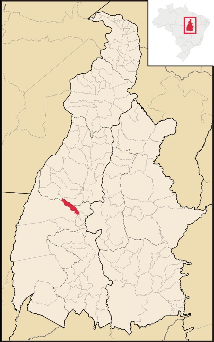
Chapada de Areia is a municipality located in the Brazilian state of Tocantins. Its population was 1,197 (2005) and its area is 659 km².
Map of Chapada de Areia - State of Tocantins, Brazil
The municipality contains 2% of the 1,678,000 hectares (4,150,000 acres) Ilha do Bananal / Cantão Environmental Protection Area, created in 1997.
References
Chapada de Areia Wikipedia(Text) CC BY-SA