
 | ||
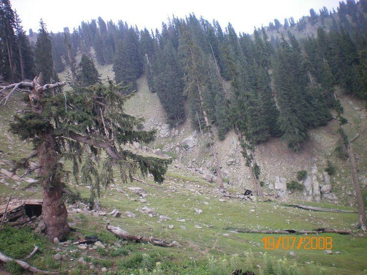
Chapa Dara District is situated in the western part of Kunar Province, Afghanistan and borders Nuristan Province. The population is 27,500 (2006). The district is mountainous and farming and animal husbandry are not possible in the whole district. Some people work abroad. Health care and the education need improvement.
Map of Chapa Dara, Afghanistan
The district borders Nuristan Province to the north and northwest, Laghman Province to the southwest, and the Pech and Nurgal districts of Kunar Province to the east and south respectively.
The population of the district is predominantly Safi Pashtun and Pashai. In the Digal valley region, remnants of the Indo-Aryan Nangalami (Grangali) language is still spoken in two villages.
References
Chapa Dara District Wikipedia(Text) CC BY-SA