
Vehicle registration MP Local time Friday 12:10 AM | Time zone IST (UTC+5:30) Elevation 398 m ISO 3166 code ISO 3166-2:IN | |
 | ||
Weather 21°C, Wind E at 2 km/h, 52% Humidity | ||
Chandia is a town and a nagar panchayat in Umaria district in the state of Madhya Pradesh, India.
Contents
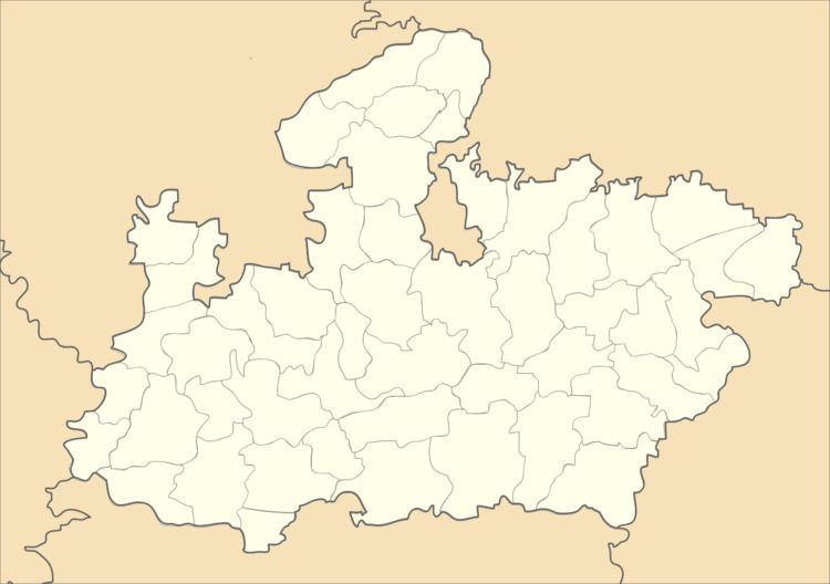
Map of Chandia, Madhya Pradesh 484660
Geography
Chandia is located at 23.65°N 80.7°E / 23.65; 80.7. It has an average elevation of 398 metres (1305 feet).
Demographics
As of 2001 India census, Chandia had a population of 12,806. Males constitute 51% of the population and females 49%. Chandia has an average literacy rate of 53%, lower than the national average of 59.5%; with male literacy of 65% and female literacy of 40%. 17% of the population is under 6 years of age.
References
Chandia, Madhya Pradesh Wikipedia(Text) CC BY-SA