
Country Mexico Municipality Champotón Time zone CST (UTC−6) Elevation 10 m Local time Thursday 11:10 AM | State Campeche City Founded 1538 Area 6,088 km² Population 30,881 (2010) Area code 982 | |
 | ||
Weather 32°C, Wind E at 13 km/h, 49% Humidity | ||
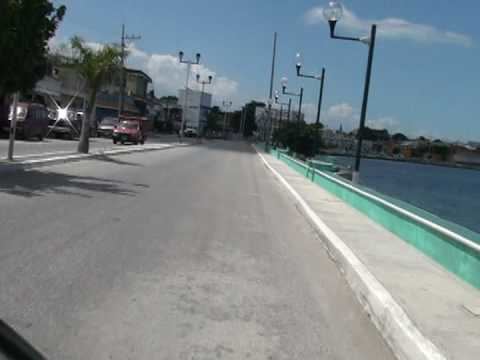
Champotón is a small city in Champotón Municipality in the Mexican state of Campeche, located at 19°21′N 90°43′W, about 60 km south of the city of Campeche where the small Champotón river meets the coast of the Gulf of Mexico. At the 2010 census it had a population of 30,881.
Contents
Map of Champoton, Campeche, Mexico
Champotón, historically also called Chakanputun and Chanputun, was a city of the Maya civilization dating back to at least the 10th century before it was conquered by Spain in the 16th century. There the famous battle "Mala Pelea" occurred. In the first Spanish exploration (1517), they were defeated by the Maya. Juan de Grijalva's expedition exacted revenge in 1518.
Demographics
As of 2010, the city of Champotón had a population of 30,881.
References
Champotón, Campeche Wikipedia(Text) CC BY-SA