
Intercommunality Auzances-Bellegarde Elevation 546 m Local time Thursday 1:16 AM | Canton Bellegarde-en-Marche Population (2008) 428 Area 28.82 km² | |
 | ||
Weather 9°C, Wind SW at 14 km/h, 90% Humidity | ||
Champagnat is a commune in the Creuse department in the Nouvelle-Aquitaine region in central France.
Contents
Map of 23190 Champagnat, France
Geography
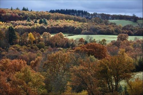
An area of lakes, forestry and farming comprising the village and several hamlets, situated some 6 miles (9.7 km) northeast of Aubusson at the junctions of the D40, D9, D19, D24 and the D993 roads.
The river Tardes flows northward through the eastern part of the commune.
The Voueize forms part of the commune's western border.
Sights
Personalities
References
Champagnat, Creuse Wikipedia(Text) CC BY-SA