
Country Thailand Time zone THA (UTC+7) Geocode 1913 Population 25,616 (2000) | Seat Khao Din Phatthana Postal code 18000 Area 150.6 km² Province Saraburi Province | |
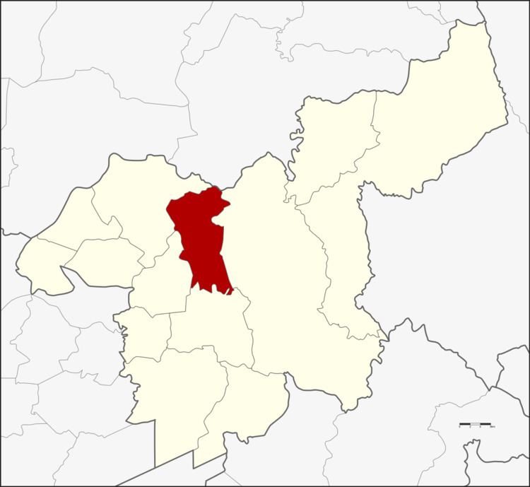 | ||
Chaloem Phra Kiat (Thai: เฉลิมพระเกียรติ, [t͡ɕʰā.lɤ̌ːm pʰráʔ kìa̯t]) is a district (Amphoe) in the northern part of Saraburi Province, central Thailand.
Contents
- Map of Chaloem Phra Kiat District Saraburi Province Thailand
- History
- Geography
- Administration
- References
Map of Chaloem Phra Kiat District, Saraburi Province, Thailand
History
Tambon Huai Bong, Ban Keng, Khao Din Phatthana, Phu Khae and Na Phra Lan were separated from Amphoe Mueang Saraburi to create the new district. The new district was officially erected on December 5, 1996, as one of five districts named Chaloem Phra Kiat created to commemorate the 50th anniversary of the ascension to throne of King Bhumibol Adulyadej (Rama IX). This area was selected because there is a royal project located within, a new agricultural theory tested at Wat Mongkhon Chaiphatthana by the Chaiphatthana foundation.
Geography
Neighboring districts are (from the north clockwise) Phattana Nikhom of Lopburi Province, Kaeng Khoi, Mueang Saraburi, Sao Hai and Phra Phutthabat of Saraburi Province.
Administration
The district is subdivided into 6 subdistricts (tambon), which are further subdivided into 51 villages (muban). Na Phra Lan has township (thesaban tambon) status and covers parts of the same-named tambon. Each of the 6 tambon is administrated by a Tambon Administrative Organization (TAO).