
Country Thailand Time zone ICT (UTC+7) Geocode 3123 Population 39,796 (2005) | Seat Ta Pek Postal code 31110 Area 349.7 km² Province Buriram Province | |
 | ||
Chaloem Phra Kiat (Thai: เฉลิมพระเกียรติ, [t͡ɕʰā.lɤ̌ːm pʰráʔ kìa̯t]) is a district (amphoe) of Buriram Province, northeastern Thailand.
Contents
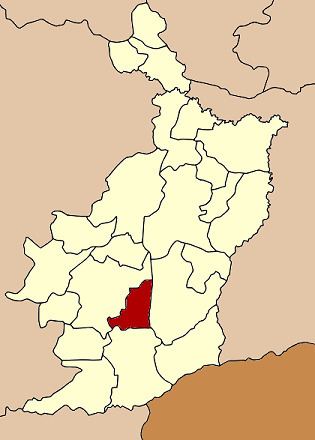
Map of Chaloem Phra Kiat District, Buriram, Thailand
History
The district was created on 5 December 1996, together with four other districts and renamed Chaloem Phra Kiat in celebration of the 50th anniversary of King Bhumibol Adulyadej's ascension to the throne.
The district was composed of the tambon Charoen Suk, Ta Pek and Isan Khet of Nang Rong District and tambon Thawon and Yai Yaem Watthana of Lahan Sai.
Geography
Neighboring districts are (from the east clockwise) Prakhon Chai, Lahan Sai and Nang Rong.
Administration
The district is divided into five sub-districts (tambon), which are further subdivided into 71 villages (muban). Phanom Rung is a township (thesaban tambon) which covers almost the complete tambon Ta Pek and parts of tambon Isan Khet. There are a further four tambon administrative organizations (TAO).