
Elevation 140 m Population 13,067 (2005) | Municipality created 1 November 1938 Area 199 km² Local time Wednesday 3:09 PM | |
 | ||
Weather 27°C, Wind NE at 14 km/h, 64% Humidity | ||
Chalma Municipality is one of the 212 municipalities of the Mexican state of Veracruz.
Contents
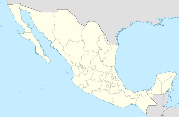
Map of Chalma, Ver., Mexico
Geography
It is located in the state's Huasteca Alta region. The municipal seat is the village of Chalma, Veracruz.
The municipality of Chalma covers a total surface area of 199.05 km².
Settlements in the municipality
Demographics
In the 2005 INEGI Census, the municipality reported a total population of 13,067, of whom 2,555 lived in the municipal seat. Of the municipality's inhabitants, 4,992 spoke an indigenous language, primarily Nahuatl.
References
Chalma (municipality) Wikipedia(Text) CC BY-SA