
Vehicle registration UP Elevation 78 m Local time Thursday 3:35 AM | Time zone IST (UTC+5:30) Website up.gov.in Population 13,667 (2001) | |
 | ||
Weather 20°C, Wind E at 3 km/h, 54% Humidity | ||
Chakia is a nagar panchayat, and the sub-divisional headquarters of Chakia tehsil in Chandauli district of Varanasi Division in the northern Indian state of Uttar Pradesh.
Contents
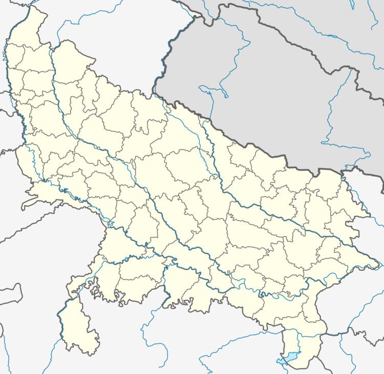
Map of Chakia, Uttar Pradesh 232103
Geography
The town has an average elevation of 78 metres (256 ft).
Chakia has Chandra Prabha Wildlife Sanctuary, in the hills of Vindhyas. The Sanctuary is approximately 50 kilometers south from Varanasi.
The plateau consists of forests, dams, rivers and hills most of which form the Chandra Prabha Sanctuary. Karamnasa, Chandraprabha and Garai rivers drain the tehsil.
History
In British India Chakia was part of the Banaras State and was one of the tehsils of Mirzapur district. Chakia stretches from Gangetic plains to the center of Vindhyas plateau. A good part of the tehsil lies on the Vindhya plateau.
Economy
The economy of the region is largely agricultural.
Demographics
As of 2011 India census, According to the Government of India (2011 census), the Chakia Nagar Panchayat had a population of 17,356 of which 9,050 were males and 8,306 were females.
Population of children aged 0-6 years was 2,440 which is 14.06 % of total population of the Nagar Panchayat. Sex ratio was 918 females per 1,000 males against state average of 912 females per 1,000 males. Moreover Child sex ratio in Chakia was around 883:1,000 compared to Uttar Pradesh's average of 902:1,000. Literacy rate of was 75.90 % higher than state average of 67.68 %. In Chakia, male literacy was around 81.43 % while female literacy rate was 69.91 %.
Sights
Transportation
The nearest railway station from Chakia is Mughal Sarai, approximately 29 km away. The nearest airport is Lal Bahadur Shastri International Airport near Varanasi. Bus service is available to major nearby towns (including Varanasi, Sonbhadra, and Chandauli).