
Region Inner Mongolia Administrative Centre Baiyinchagan Town Time zone China Standard (UTC+8) Local time Thursday 3:57 AM | Prefecture-level city Ulaan Chab Elevation 1,440 m (4,720 ft) Area 3,803 km² | |
 | ||
Country People's Republic of China | ||
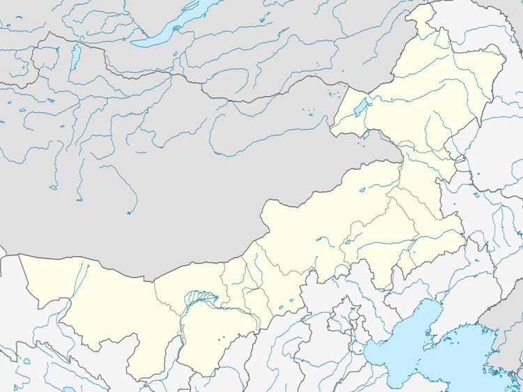
Chahar Right Back Banner (Mongolian: ᠴᠠᠬᠠᠷ ᠪᠠᠷᠠᠭᠤᠨ ᠭᠠᠷᠤᠨ ᠬᠣᠶᠢᠲᠤ ᠬᠣᠰᠢᠭᠤ; Цахар баруун гарын хойд хошуу; Čaqar Baraɣun Ɣarun Qoyitu qosiɣu; simplified Chinese: 察哈尔右翼后旗; traditional Chinese: 察哈爾右翼後旗; pinyin: Cháhā'ěr Yòuyì Hòuqí) is a banner of Inner Mongolia, People's Republic of China, bordering Shangdu County to the northeast, Xinghe County to the southeast, Chahar Right Front Banner to the south, Zhuozi County to the southwest, Chahar Right Back Banner to the west, Siziwang Banner to the northwest, and Xilin Gol to the north. It is under the administration of Ulaan Chab City, which lies to the south along the G55 Erenhot–Guangzhou Expressway. The most important settlement in the banner is Baiyinchagan.
Map of Chahar Youyi Houqi, Ulanqab, Inner Mongolia, China
References
Chahar Right Back Banner Wikipedia(Text) CC BY-SA