
Country India Time zone IST (UTC+05:30) Telephone code 08647 Population 2,302 (2011) Area code 08647 | State ఆంద్రప్రదేశ్ Pincode 522603 Vehicle registration AP-07 Local time Wednesday 10:58 PM | |
 | ||
Weather 28°C, Wind S at 13 km/h, 89% Humidity | ||
Chaagallu is a village in Nekarikallu mandal, located in Guntur district of Andhra Pradesh, India.
Contents
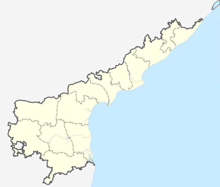
Map of Chagallu, Andhra Pradesh 522603
Demographics
As of 2011 Census of India, the town had a population of 2,302. The total population constitute, 1066males and 1,236 females —a sex ratio of 1,156 females per 1000 males, higher than the national average of 995 per 1000. 705 children are in the age group of 0–6 years, of which 361 are boys and 344 are girls—a ratio of 953 per 1000. The average literacy rate stands at 56.86% with 3,379 literates, significantly lower than the national average of 73.00%.
Transportation
Narasaraopet is the Nearest Town to Chagallu. Narasaraopet is 18 km from Chagallu. Reddigudem Railway station is the nearby railway station to Chagallu. APSRTC operate buses from Narasaraopet to Chagallu