
 | ||
Restaurants 7‑Eleven, La Patrona, Village Inn, Wendy's, Taco Bell | ||
Chaffee Park is a neighborhood of Denver, Colorado. It is in the area known to many as North Denver. It was platted in 1946 and mostly completed by 1949. It is named after Jerome B. Chaffee one of the founders of the City of Denver and Republican U.S. Senator from November 1876 to March 1879. Chaffee Park, along with the Regis neighborhood, are the north Denver neighborhoods that border the adjacent areas of Southeast Arvada and Twin Lakes. According to the Piton Foundation, in 2007, the population of the neighborhood was 4,401, and there were 1,554 housing units. In the year 2000, the racial breakdown was 31.44% White, 0.91% African American, 64.13% Hispanic or Latino, 0.91% Native American, and 0.94% Asian.
Contents
Map of Chaffee Park, Denver, CO, USA
Boundaries
The neighborhood is bordered on the west by Federal Boulevard, on the north by the Adams County line, on the south by Interstate 70, and on the east by the railroad tracks. The northwestern part of the Chaffee Park neighborhood has a Denver mailing address; however, it is part of unincorporated Adams County and not part of the City and County of Denver.
Landmarks
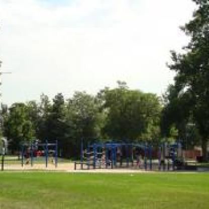
Most of the neighborhood consists single-family housing units, with the exception of a few industrial buildings on the eastern edge of the neighborhood. Zuni Park is at the northern edge of the neighborhood, along the Adams County border. Here, 52nd Avenue is the northern border of the City and County of Denver. There is a city park named Chaffee Park, but it is in Sunnyside, the neighborhood south of the Chaffee Park Neighborhood. Interstate 70 serves as its southern border.