
3-digit postal code prefix 880 Local time Wednesday 6:15 PM | Time zone WAT (UTC+1) Area 1,698 km² | |
 | ||
Weather 33°C, Wind NE at 11 km/h, 10% Humidity | ||
Chafe (or Tsafe) is a Local Government Area in Zamfara State, Nigeria. Its headquarters are in the town of Chafe at11°56′00″N 6°54′00″E.
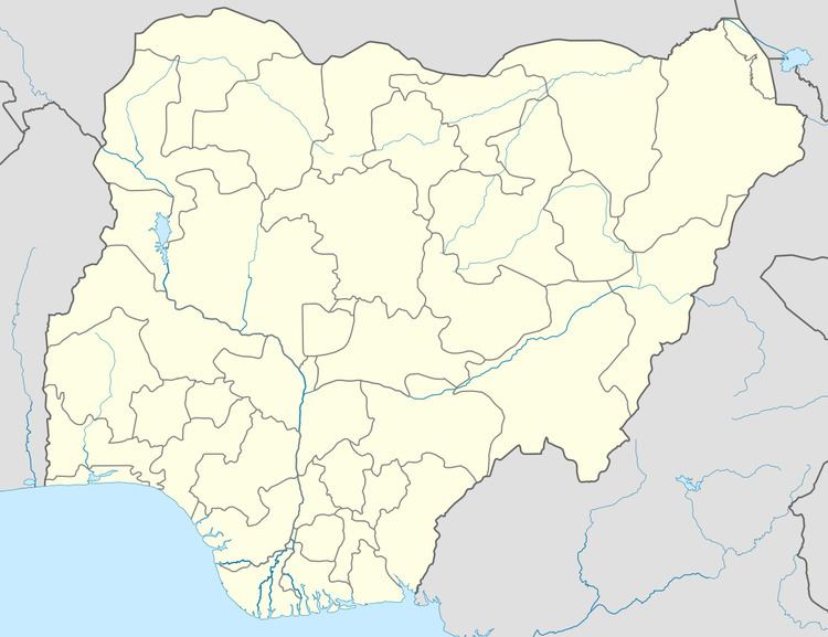
Map of Tsafe, Nigeria
It has an area of 1,698 km² and a population of 266,008 at the 2006 census.
The postal code of the area is 880.
References
Chafe, Nigeria Wikipedia(Text) CC BY-SA