
Demonym(s) Cetesi Postal code 25040 | Elevation 453 m (1,486 ft) Area 32 km² Local time Wednesday 2:58 PM Dialling code 0364 | |
 | ||
Weather 16°C, Wind SW at 10 km/h, 23% Humidity | ||
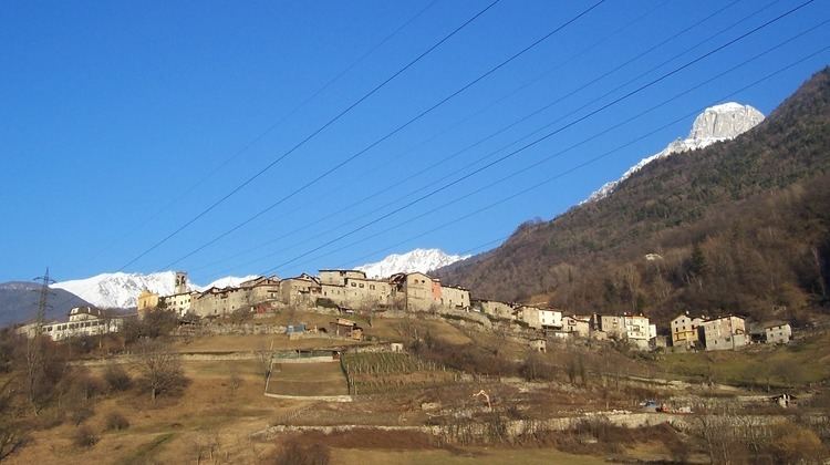
Ceto (Hét in local camunian dialect) is an Italian comune of 1943 inhabitants in Val Camonica, province of Brescia, in Lombardy.
Contents
- Map of 25040 Ceto Province of Brescia Italy
- Geography
- History
- Religious architectures
- Traditions and folklore
- References
Map of 25040 Ceto Province of Brescia, Italy
Geography
The village of Ceto is bounded by other communes of Braone, Breno, Capo di Ponte, Cerveno, Cevo, Cimbergo, Daone (TN), Ono San Pietro.
History
In February 1798 the town of Nadro was united to that of Ceto, and assumed the name of "comune of Ceto and Nadro. "
Between 1816 and 1859 the town was called "Ceto with Nadro", while from 1859 to 1927 only "Ceto". In that year he was joined Cerveno, which was linked with the name "Ceto Cerveno" until 1947.
Religious architectures
The churches of Ceto are:
Traditions and folklore
The scütüm are in camunian dialect nicknames, sometimes personal, elsewhere showing the characteristic features of a community. The one which characterize the people of Ceto is Fontàne, Bagàtoi or Sgaréi.