
Mountain type Stratovolcano Last eruption 1936 | Elevation 4,445 m | |
 | ||
Similar | ||
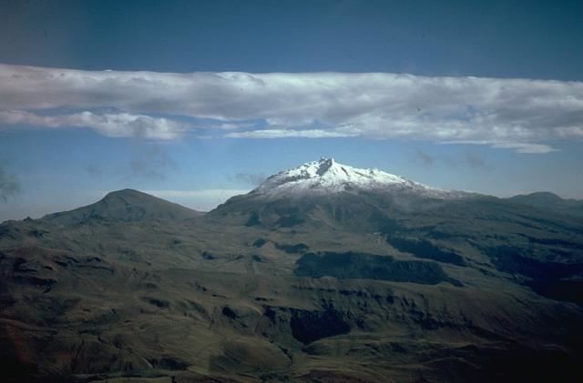
Cerro Negro de Mayasquer is a volcano on the border of Colombia and Ecuador. It lies 3 kilometres (2 mi) north-west of the volcano Chiles, and the two peaks are considered part of the same Chiles-Cerro Negro volcanic complex. A 1936 eruption reported by the Colombian government agency Ingeominas may have been from the Ecuadorean volcano Reventador, otherwise the volcano has not erupted for around 160,000 years.
Map of Cerro Negro de Mayasquer
References
Cerro Negro de Mayasquer Wikipedia(Text) CC BY-SA