Elevation 2,650 m Prominence 300 m | Area 240 ha | |
 | ||
Similar Almolonga, Santa María, Volcán Siete Orejas, Chicabal, Volcán Santiaguito | ||
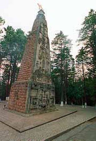
Cerro El Baúl, also known as El Baúl, is a forested lava dome overlooking the valley of Quetzaltenango. It is located about 3 km north of the Almolonga volcano, at the south-eastern edge of the city of Quetzaltenango in Guatemala and is one of the city's last remaining green areas.
Map of Cerro El Ba%C3%BAl, Quetzaltenango, Guatemala
Cerro El Baúl covers an area of 2.40 km² and was declared a national park in 1955. The park is under serious threat due to illicit extraction of trees and advancing urbanization crossing the park borders.
References
Cerro El Baúl Wikipedia(Text) CC BY-SA
