
Elevation 2,420 m Parent range Cerros de Escazú | Mountain range Cerros de Escazú | |
 | ||
Similar Cerro Rabo de Mico, Cerro Pico Blanco, Barva Volcano, Cerro Kamuk, Orosí Volcano | ||
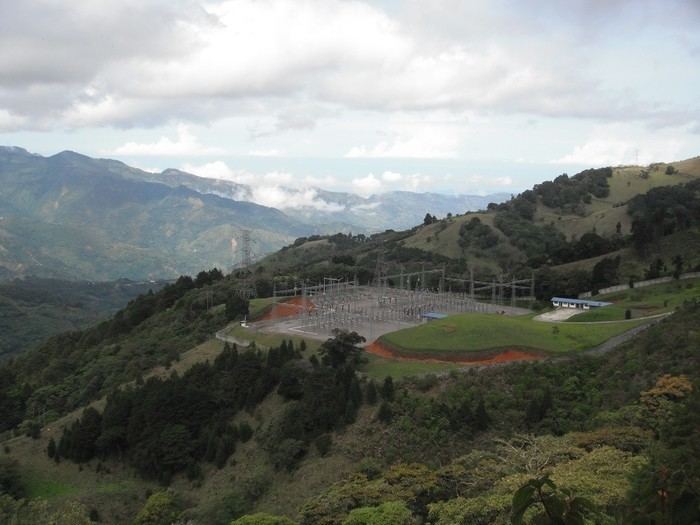
The Cerro Cedral is the second highest mountain of the Cerros de Escazú, Costa Rica with 2,420 m (7,940 ft). Cedral means 'cedar forest' referring to an endangered tree species locally known as Cedro Dulce, which occurs there.
Map of Cerro Cedral, San Jos%C3%A9, Costa Rica
This mountain marks the southern limit of Escazú as a canton and of San José as a province.
The Agres river rises from the Cerro Cedral.
On January 15, 1990 a Sansa Airlines flight crashed into the Cerro Cedral killing all 23 crew and passengers on board. The pilot, flying a CASA C-212 Aviocar, was later determined to be under excessive fatigue at the moment.
References
Cerro Cedral Wikipedia(Text) CC BY-SA