
Area codes 071 Postal code 5630 Area code 071 Number of airports 1 | Postal codes 5630 Website www.cerfontaine.be Local time Wednesday 9:47 AM Province Namur | |
 | ||
Weather 5°C, Wind S at 32 km/h, 94% Humidity Arrondissement Arrondissement of Philippeville | ||
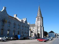
Cerfontaine ([sɛʁfɔ̃tɛn]) is a Walloon municipality located in Belgium in the province of Namur. On January 1, 2006, Cerfontaine had a total population of 4,546. The total area is 83.45 km² which gives a population density of 54 inhabitants per km².
Contents
Map of Cerfontaine, Belgium
The municipality consists of the following sub-municipalities: Cerfontaine proper, Daussois, Senzeille, Silenrieux, Soumoy, and Villers-Deux-Églises.
The Eau d'Heure lakes are situated partly in this municipality and partly in neighbouring Froidchapelle.
Postal history
The CERFONTAINE post-office opened on 25 February 1860. It used a Distribution code 98 with vertical bars (before 1864), and 75 with points before 1874. The SILENRIEUX post-office opened on 9 December 1899; SENZEILLES on 21 August 1906.
Code 5630 since at least 1990.
Postal codes in 1969 (before the merger of municipalities in 1977): - 6355 Villers-Deux-Églises - 6444 Silenrieux - 6445 Daussois - 6450 Cerfontaine - 6451 Soumoy - 6452 Senzeille.