Country United States GNIS feature ID 623025 Local time Wednesday 3:38 AM | Time zone Eastern (EST) (UTC-5) Elevation 273 m Area code 269 | |
 | ||
Weather 5°C, Wind SW at 24 km/h, 55% Humidity | ||
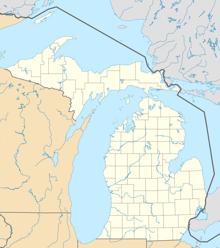
Ceresco is a small unincorporated community in Calhoun County in the U.S. state of Michigan. Ceresco is situated on the Kalamazoo River approximately five miles west of downtown Marshall. It is on the boundary between Marshall Township and Emmett Charter Township at 42°16′19″N 85°03′41″W. Ceresco has a post office with ZIP Code 49033. The ZIP Code area serves portions of west and southwest Marshall Township, southeast Emmett Charter Township, northwest Fredonia Township, and a large portion of Newton Township.
Contents
Map of Ceresco, MI, USA
History
In 1838, a saw mill and flour mill were built on the Kalamazoo River at the site of what became Ceresco. Isaac E. Crary and John D. Pierce named the community by combining the name of Ceres, the Roman goddess of growing grains, with the first two letters of "company." The first post office was established on December 30, 1843, with Winslow S. Hale as the first postmaster.
The farming village of Ceresco, Nebraska is named after this place, the home town of Richard Nelson and Hod Andrus, two early settlers in the Nebraska hamlet.
