
Country United States Area code(s) 620 Elevation 419 m Local time Tuesday 7:47 PM | State Kansas Time zone CST (UTC-06:00) FIPS code 20-12437 Area 134.7 km² Population 479 (2010) | |
 | ||
Weather 12°C, Wind W at 10 km/h, 13% Humidity | ||
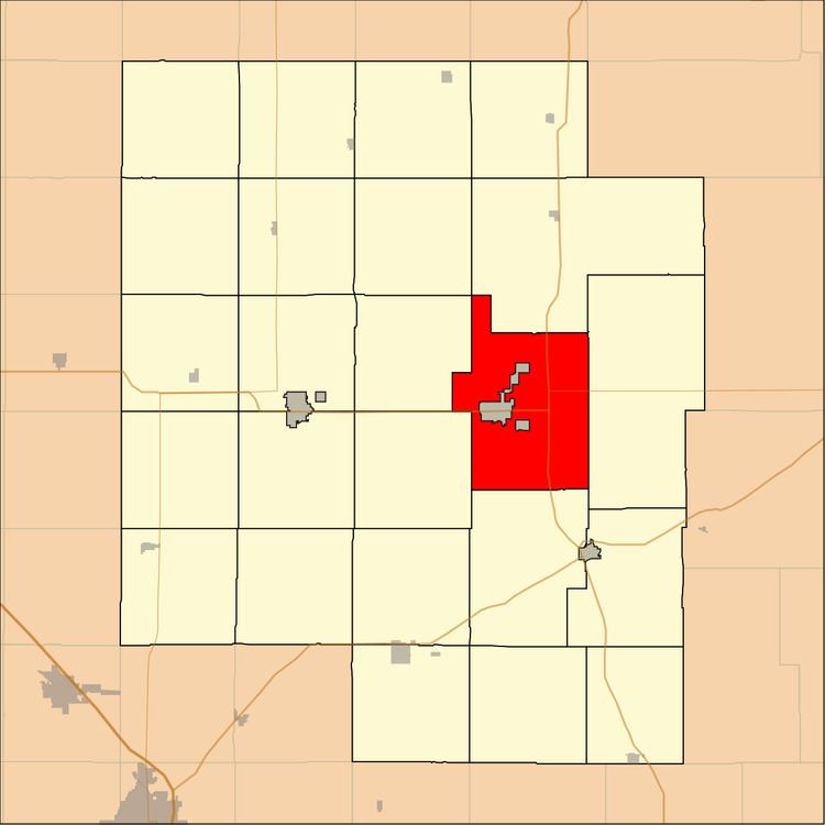
Centre Township is a township in Marion County, Kansas, United States. As of the 2010 census, the township population was 479, not including the city of Marion.
Contents
Map of Centre, KS 66861, USA
Geography
Centre Township covers an area of 52 square miles (134.7 km2). The Marion County Lake is located in the township.
Communities
The township contains the following settlements:
Cemeteries
The township contains the following cemeteries:
Transportation
U.S. Route 56 and U.S. Route 77 pass through the township. K-256 and K-150 state highway connect in the township.
References
Centre Township, Marion County, Kansas Wikipedia(Text) CC BY-SA