
Country United States Time zone CST (UTC-6) Elevation 173 m Local time Tuesday 6:22 PM | Settlement November 6, 1888 ZIP codes 62246, 62275, 62284 Area 96.27 km² Population 8,013 (2010) | |
 | ||
Weather 11°C, Wind SW at 13 km/h, 37% Humidity Points of interest De Moulin Museum, Richard W Bock Sculpture Msm, Hoiles-Davis Museum | ||
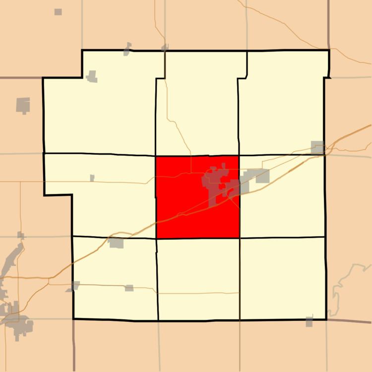
Central Township is one of nine townships in Bond County, Illinois, USA. As of the 2010 census, its population was 8,013 and it contained 2,769 housing units.
Contents
- Map of Central Township IL 62246 USA
- Geography
- Cities
- Unincorporated towns
- Cemeteries
- Major highways
- Airports and landing strips
- Lakes
- Landmarks
- School districts
- Political districts
- References
Map of Central Township, IL 62246, USA
Geography
According to the 2010 census, the township has a total area of 37.17 square miles (96.3 km2), of which 37.14 square miles (96.2 km2) (or 99.92%) is land and 0.04 square miles (0.10 km2) (or 0.11%) is water.
Cities
Unincorporated towns
(This list is based on USGS data and may include former settlements.)
Cemeteries
The township contains these nine cemeteries: Hazel Dell, Hazel Dell, Montrose, Mount Auburn, Mount Gilead, Mount Moriah, Old City, Saint Lawrence Catholic and Smith Grove.
Major highways
Airports and landing strips
Lakes
Landmarks
School districts
Political districts
References
Central Township, Bond County, Illinois Wikipedia(Text) CC BY-SA