
Highway system Shuto Expressway | ||
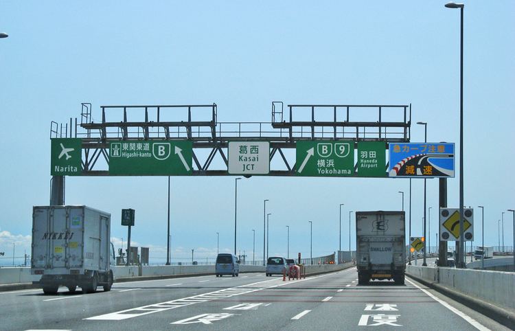 | ||
The Central Circular Route (中央環状線, Chūō Kanjō-sen), signed as Route C2, is one of the routes of the Shuto Expressway system serving the central part of the Greater Tokyo Area. The route is a circumferential highway running through the outer wards of Tokyo. The route is the middle of three ring expressways planned for the city; the other two being the C1 Inner Circular Route and the C3 Tokyo Gaikan Expressway.
Contents
Map of Metropolitan Expressway Central Circular Route, T%C5%8Dky%C5%8D-to, Japan
The complete route is 48.8 km in length. Construction work on underground sections of the route began in 1992 with the final section opened to traffic on 7 March, 2015. Given the extensive tunneling and engineering challenges involved construction costs for the route were estimated to be 2 Trillion yen.
The route is approximately 8km from the center of the city and goes through the wards of Edogawa, Katsushika, Adachi, Kita, Itabashi, Toshima, Shinjuku, Nakano, Shibuya, Meguro, and Shinagawa.
The Yamate Tunnel forms a key part of the Central Circular Route. A deep underground tunnel constructed beneath Yamate Dori, the first section over 11km in length, was opened to traffic on December 22, 2007. From 2010 the tunnel extended the Central Circular Route south from near Ikebukuro to Ohashi Junction connecting with Route 3. The last 9.4 km through Meguro and Shinagawa was opened to traffic on March 7, 2015. When this last section of the tunnel opened the Yamate Tunnel formed Japan's longest, and the world's second longest road tunnel. During the tunnel's first week of operations, traffic volume on the Inner Circular Route was reduced by seven percent from the previous week, and congestion on expressways inside the Central Circular Route (an index measured by recording segments where average traffic speed is less than 40 km/h, and multiplying the affected distance by the affected time) was approximately halved from the previous week.
The C2 begins and ends at the Bayshore Route, which serves to close the loop.
Exit List
List of currently existing interchanges and exits ordered following the outer loop (clockwise):