
Country United States Elevation 218 m Local time Tuesday 10:32 AM | GNIS feature ID 0453186 Area 110.6 km² Population 142,787 (2010) | |
 | ||
ZIP codes 46107, 46201, 46202, 46203, 46204, 46205, 46208, 46217, 46218, 46219, 46221, 46222, 46225, 46237 Weather 13°C, Wind SW at 24 km/h, 84% Humidity | ||
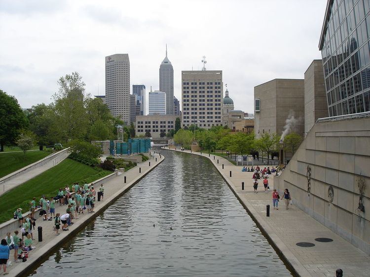
Center Township is one of nine townships in Marion County, Indiana, in the United States. As of the 2010 census, its population was 142,787 and it contained 76,872 housing units. It is the most populated township in Marion County.
Contents
- Map of Center Township IN USA
- Geography
- Communities
- Extinct communities
- Cemeteries
- Major highways
- Airports and landing strips
- Lakes
- Notable people
- School districts
- Political districts
- References
Map of Center Township, IN, USA
Center Township includes downtown Indianapolis and part of Beech Grove.
Geography
According to the 2010 census, the township has a total area of 42.7 square miles (111 km2), of which 41.85 square miles (108.4 km2) (or 98.01%) is land and 0.84 square miles (2.2 km2) (or 1.97%) is water.
Communities
Extinct communities
(These towns are listed as "historical" by the USGS.)
Cemeteries
The township contains five notable cemeteries: Concordia, Crown Hill, Hebrew, Holy Cross and Saint Joseph, and New Crown.
Major highways
Airports and landing strips
Lakes
Notable people
School districts
Political districts
References
Center Township, Marion County, Indiana Wikipedia(Text) CC BY-SA