
GNIS feature ID 0467574 Area 93.36 km² Population 1,726 (2000) | Time zone CST (UTC-6) Elevation 223 m Local time Tuesday 9:27 AM | |
 | ||
ZIP codes 52002, 52039, 52045, 52068 Weather 4°C, Wind SW at 40 km/h, 61% Humidity | ||
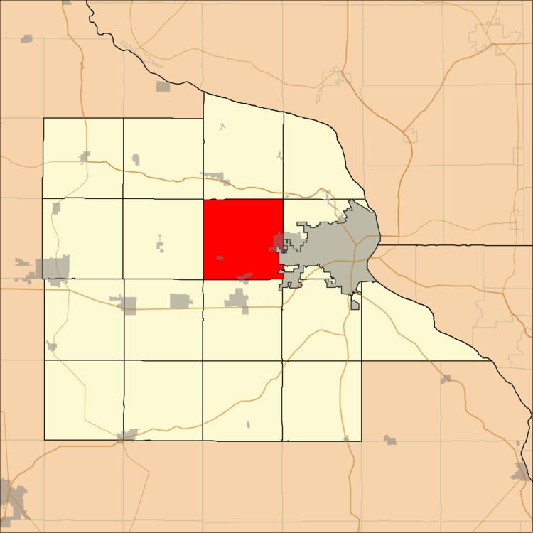
Center Township is one of seventeen townships in Dubuque County, Iowa, USA. As of the 2000 census, its population was 1,726.
Contents
- Map of Center IA USA
- Geography
- Cities towns villages
- Unincorporated towns
- Adjacent townships
- Cemeteries
- School districts
- Political districts
- References
Map of Center, IA, USA
Geography
According to the United States Census Bureau, Center Township covers an area of 36.05 square miles (93.36 square kilometers).
Cities, towns, villages
Unincorporated towns
(This list is based on USGS data and may include former settlements.)
Adjacent townships
Cemeteries
The township contains these three cemeteries: Annunciation, Centralia Presbyterian and Saint Johns the Baptist Catholic Cemetery.
School districts
Political districts
References
Center Township, Dubuque County, Iowa Wikipedia(Text) CC BY-SA