Time zone Eastern (EST) (UTC-5) GNIS feature ID 597207 Area 23.3 km² | Area code(s) 301 Elevation 81 m Population 1,394 (2010) | |
 | ||
Country United States of America | ||
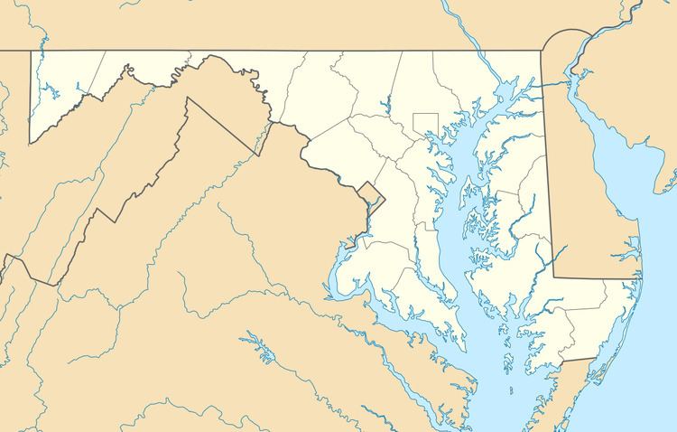
Cedarville is an unincorporated community and census-designated place in southern Prince George's County, Maryland in the United States of America. As of the 2010 census the population was 1,394.
Contents
Map of Cedarville, MD 20613, USA
Geography
According to the U.S. Census Bureau, Cedarville had an area of 9.0 square miles (23.3 km2), all of it land. The CDP is bordered to the northwest by Brandywine, to the north by Croom CDP, to the east by Baden, and to the south by Charles County.
References
Cedarville, Maryland Wikipedia(Text) CC BY-SA
