
Ward 11 Local time Tuesday 12:24 AM | Quadrant SW Established 1973 Population 6,441 (2006) | |
 | ||
Weather -15°C, Wind NW at 5 km/h, 86% Humidity Restaurants Ha Tien Restaurant, Swigs Pub & Grill, Palace Pizza & Donair, Copper Pot Creations Inc, Sammys World Greatest | ||
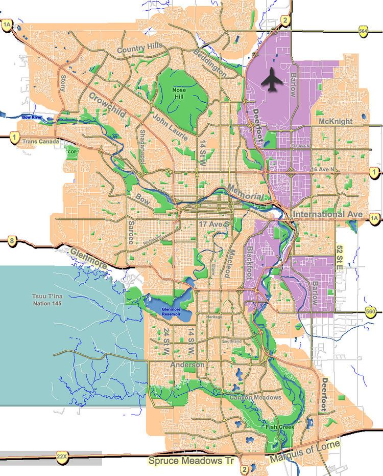
Cedarbrae is a residential neighbourhood in the south-west quadrant of Calgary, Alberta. It is bounded by Southland Drive to the north, 24 Street W to the east, Anderson Road to the south and the Tsuu T'ina first nation reserve to the west.
Contents
Map of Cedarbrae, Calgary, AB, Canada
The lands were annexed by the city in 1956, and Cedarbrae was established in 1973. It is represented in the Calgary City Council by the Ward 11 councillor.
Demographics
In the City of Calgary's 2012 municipal census, Cedarbrae had a population of 7003623700000000000♠6,237 living in 7003260900000000000♠2,609 dwellings, a -0.4% increase from its 2011 population of 7003626400000000000♠6,264. With a land area of 2.1 km2 (0.81 sq mi), it had a population density of 2,970/km2 (7,690/sq mi) in 2012.
Residents in this community had a median household income of $62,063 in 2000, and there were 11.8% low income residents living in the neighbourhood. As of 2000, 21.4% of the residents were immigrants. A proportion of 10.5% of the buildings were condominiums or apartments, and 22.7% of the housing was used for renting.
Education
The community is served by Cedarbrae Elementary public school and St. Cyril Elementary & Junior High (Catholic) (closed until school resumes in fall 2016).