
Time zone CST (UTC-6) Elevation 230 m Local time Tuesday 1:17 AM | Established November 2, 1852 ZIP codes 61401, 61410, 61436 Area 93.81 km² Population 3,270 (2010) | |
 | ||
Weather 11°C, Wind SW at 19 km/h, 90% Humidity | ||
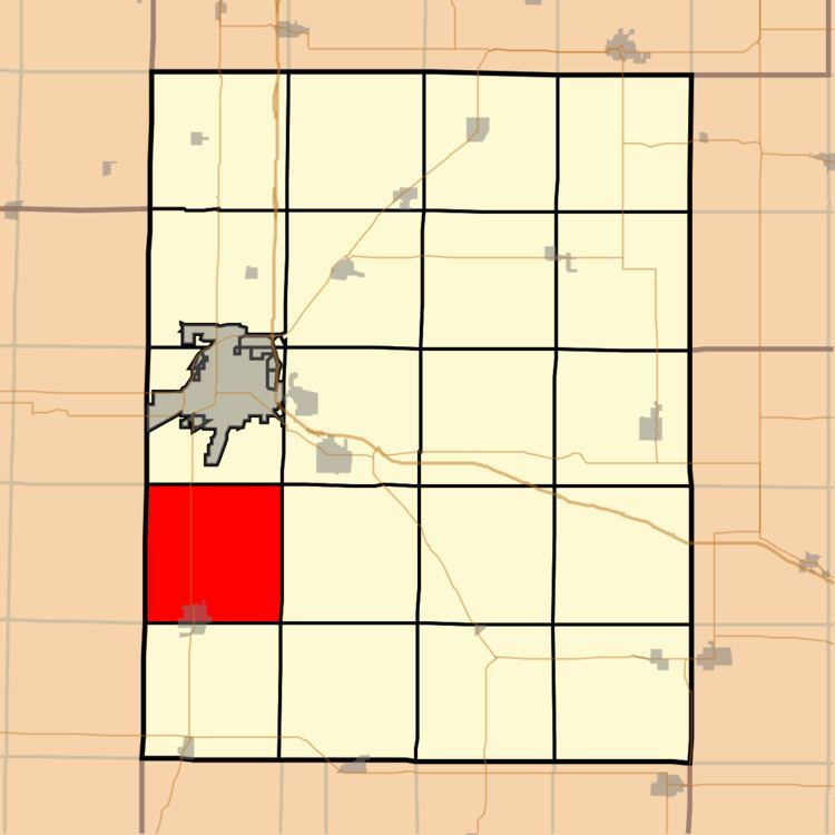
Cedar Township is one of twenty-one townships in Knox County, Illinois, USA. As of the 2010 census, its population was 3,270 and it contained 1,487 housing units. Its name was changed from Cherry Grove Township on June 8, 1853.
Contents
- Map of Cedar Township IL USA
- Geography
- Cities towns villages
- Unincorporated towns
- Cemeteries
- Airports and landing strips
- School districts
- Political districts
- References
Map of Cedar Township, IL, USA
Geography
According to the 2010 census, the township has a total area of 36.22 square miles (93.8 km2), of which 36 square miles (93 km2) (or 99.39%) is land and 0.22 square miles (0.57 km2) (or 0.61%) is water.
Cities, towns, villages
Unincorporated towns
(This list is based on USGS data and may include former settlements.)
Cemeteries
The township contains these three cemeteries: Abingdon, Brush Creek and Cherry Grove.
Airports and landing strips
School districts
Political districts
References
Cedar Township, Knox County, Illinois Wikipedia(Text) CC BY-SA