 | ||
River mouth Intermediate River614 ft (187 m) River system | ||
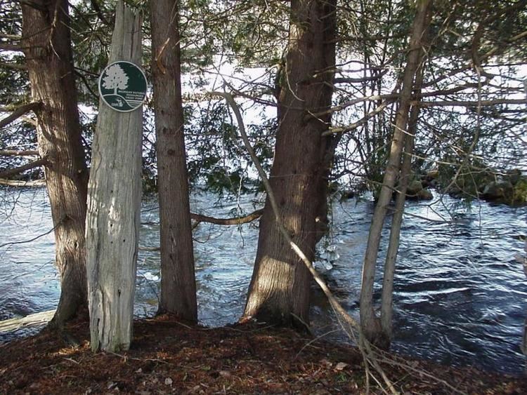
Cedar River is an 11.6-mile-long (18.7 km) stream in Antrim County in the U.S. state of Michigan and is part of the Elk River Chain of Lakes Watershed, a tributary of Lake Michigan.
Contents
Map of Cedar River, Bellaire, MI, USA
The Cedar River rises in southwest Chestonia Township at 44°57′29″N 85°02′30″W and flows mostly to the west into the Intermediate River in Bellaire at 44°58′48″N 85°12′16″W.
The North Branch Cedar River rises along the boundary between Chestonia and Kearney townships at 45°00′18″N 85°06′04″W and flows southwest into the main branch about a mile east of Bellaire at 45°00′18″N 85°06′04″W.
Tributaries
From the mouth:
Drainage basin
The Cedar River drains portions of the following in Antrim County:
References
Cedar River (Antrim County, Michigan) Wikipedia(Text) CC BY-SA
