
Elevation 883 m Local time Monday 11:08 PM | Time zone Pacific (PST) (UTC-8) Zip code 95924 Area code 530 | |
 | ||
Weather 2°C, Wind SE at 8 km/h, 95% Humidity | ||
Cedar Ridge is an unincorporated community in Nevada County, California, United States, along State Route 174 2.5 miles (4.0 km) east/southeast of Grass Valley, California. and approximately 1 mile (1.6 km) east/southeast of the Empire Mine in Gold Country. The first Post Office was established in 1948 and the zip code is 95924.
Contents
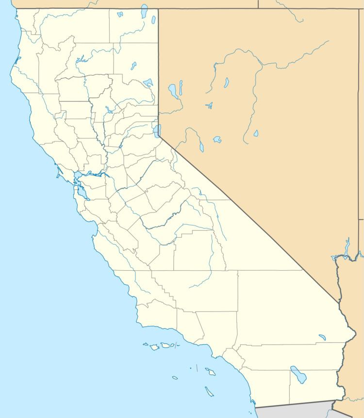
Map of Cedar Ridge, CA 95945, USA
Geography
Cedar Ridge is located at (39.199, -121.021). The elevation is 2,897 feet (883 m) above sea level.
References
Cedar Ridge, Nevada County, California Wikipedia(Text) CC BY-SA