Country United States ZIP code 27231 Elevation 216 m Local time Tuesday 1:44 AM | Time zone Eastern (EST) (UTC-5) FIPS code 37-37135 Area code Area codes 919 and 984 | |
 | ||
Weather 12°C, Wind SW at 10 km/h, 67% Humidity | ||
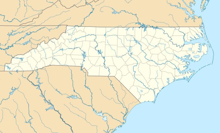
Cedar Grove is an unincorporated community in Orange County, North Carolina, United States. It is located southeast of McDade, and northwest of Hillsborough.
Contents
Map of Cedar Grove, NC 27231, USA
The Cedar Grove Ruritan Club (CGRC), established June 1951, is one of the hubs of the Cedar Grove community. Various groups use the club baseball field, gym, grounds, walking track, and building year round. The site is host for multiple events that support the people of Cedar Grove and surrounding communities. The club sponsors the Hummingbird 4H Club and other youth oriented groups. The CGRC was recently awarded a plaque from the Orange County Schools Board of Education for recognition of service and dedication to the youth of Orange County, partly due to our recent support and hosting of the Orange County Schools’ Teacher of the Year Award. CGRC was sponsored by the Oak Grove Ruritan Club and in 1981 the CGRC sponsored the Efland Ruritan Club. The CGRC original location is now the Five Forks Church Community Building, the current location is the former building and grounds of Aycock School.
The Cedar Grove Rural Crossroads Historic District and Capt. John S. Pope Farm are listed on the National Register of Historic Places.
Landmarks
Pender Store, Oliver's, Cedar Grove Post Office, Carr United Methodist Church, White Oak Grove Baptist Church, Lee's Chapel Baptist Church, Cedar Grove Golf Club, Cedar Grove Fire Department, Cedar Grove United Methodist Church
