
Country United States Time zone Central (CST) (UTC-6) Elevation 468 m Population 28 (2000) | Organized 1910 FIPS code 38-009-13060 Local time Monday 11:45 PM Area code 701 | |
 | ||
Weather -11°C, Wind E at 61 km/h, 96% Humidity Area 91.56 km² (91.14 km² Land / 41 ha Water) | ||
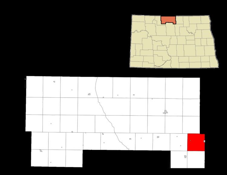
Cecil Township is a civil township in Bottineau County in the U.S. State of North Dakota. As of the 2000 census, its population was 28.
Contents
Map of Cecil, ND 58384, USA
Geography
Cecil Township is located in survey township 160N, Range 74W.
Streams
History
Cecil Township was organized in 1910 from Lincoln School Township.
The Soo Line Railroad was a major transportation route in the township. Overly, North Dakota in the eastern part of the township was railroad hub, including a roundhouse for servicing locomotvies. Ovelry also served as a way station for rail crews traveling east and west.
In 1908 railroad officials established a second siding 5 miles (8.0 km) west of the city of Overly, and named the site Tasco ("clay earth"). It was reportedly named after the town of Tasco in Sheridan County, Kansas. Grain elevators were constructed and operated at the site, but the area saw little development. Tasco is located at 48°41′14″N 100°15′18″W.
French settlers moved to Cecil Township around 1900 and established a small community about 4 miles (6.4 km) south of Overly that they named Little Fargo. The settlers originally moved to the area from Wild Rice, then a French settlement near Fargo. Settlers built a church they called the "Mission of St. Genevieve," which was moved to Overly in 1921. Today, all that remains of Little Fargo is its cemetery, located at 48.6441°N 100.1890°W / 48.6441; -100.1890 (Little Fargo Cemetery).