
Elevation 156 m (512 ft) Area code(s) 240 & 301 Area 52 ha Population 178 (2010) | Time zone Eastern (EST) (UTC-5) GNIS feature ID 592368 Local time Tuesday 12:01 AM | |
 | ||
Weather 8°C, Wind S at 6 km/h, 70% Humidity | ||
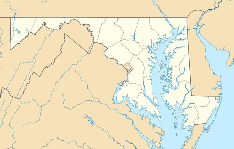
Cearfoss is an unincorporated community and census-designated place in northwestern Washington County, Maryland, United States. Its population was 178 as of the 2010 census. It is located northwest of Hagerstown and Maugansville near the Pennsylvania border. Many highways intersect in Cearfoss in a roundabout including Maryland Route 63, Maryland Route 58, and Maryland Route 494. Cearfoss is officially included in the Hagerstown Metropolitan Area (Hagerstown-Martinsburg, MD-WV Metropolitan Statistical Area).
Contents
Map of Cearfoss, MD 21740, USA
Geography
According to the U.S. Census Bureau, the community has an area of 0.201 square miles (0.52 km2), all of it land.
References
Cearfoss, Maryland Wikipedia(Text) CC BY-SA