
Country Canada Time zone MST (UTC-7) Population 265 (2011) | Area 54 ha Local time Monday 8:22 PM Number of airports 1 | |
 | ||
Municipal district M.D. of Foothills No. 31 Weather -13°C, Wind N at 5 km/h, 84% Humidity | ||
Cayley is a hamlet in southern Alberta, Canada within the Municipal District (M.D.) of Foothills No. 31. It is also recognized as a designated place by Statistics Canada.
Contents
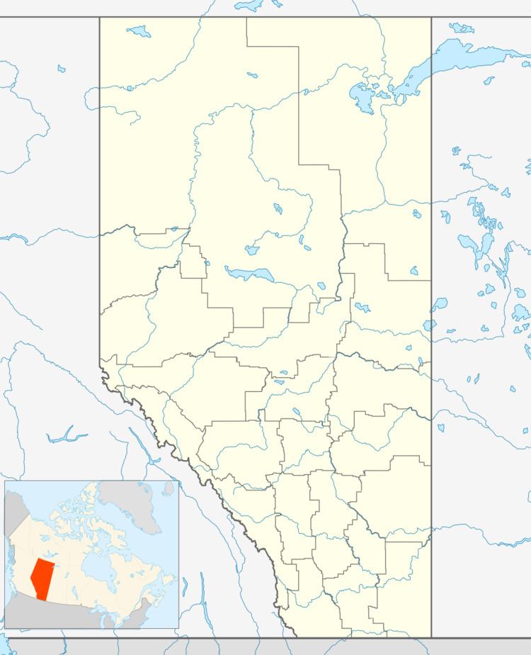
Map of Cayley, AB, Canada
Cayley is approximately 73 kilometres (45 mi) south of Calgary, 13 kilometres (8.1 mi) south of High River and 1.2 kilometres (0.75 mi) west of Highway 2 on Range Road 290 (former designated as Highway 2A). It is located within Alberta Census Division No. 6.
History
The community was named for the Hon. Hugh St. Quentin Cayley, a barrister and the publisher of the Calgary Herald in 1884, who also represented Calgary in the Northwest Territories legislature from 1886 to 1894. The hamlet originally contained at least seven grain elevators; all have been demolished. Cayley is also home to a Hutterite colony and a colony school; in 2001, two Cayley Colony girls were the first students from an Alberta colony school to write provincial diploma exams and graduate from high school.
Incorporation history
Previously incorporated as a village on August 4, 1904, Cayley dissolved to hamlet status on June 1, 1996.
Demographics
As a designated place in the 2016 Census of Population conducted by Statistics Canada, Cayley recorded a population of 340 living in 143 of its 143 total private dwellings, a change of 7001283000000000000♠28.3% from its 2011 population of 265. With a land area of 0.48 km2 (0.19 sq mi), it had a population density of 708.3/km2 (1,834.6/sq mi) in 2016.
As a designated place in the 2011 Census, Cayley had a population of 265 living in 97 of its 104 total dwellings, a -18.5% change from its 2006 population of 325. With a land area of 0.54 km2 (0.21 sq mi), it had a population density of 491/km2 (1,271/sq mi) in 2011.